Lower Lighthouse, Fleetwood
Fleetwood, Lancashire
Sources checked November 2026
- Year
- 1840
- Architect
- Decimus Burton
- Type
- Lighthouse
- Access
- Can be seen from the outside, on the seafront (Wyre Borough Council, November 2026)
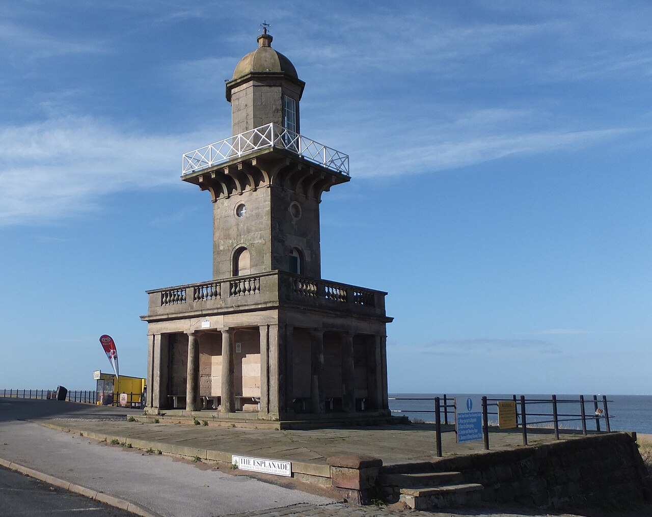
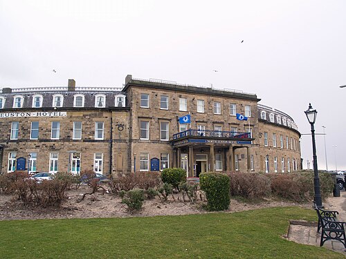
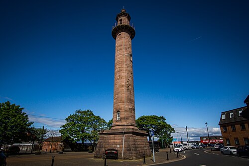
The Lower Lighthouse is one of the two lighthouses Decimus Burton designed for Fleetwood, together with the Pharos. Opened in 1840 on the seafront, it forms with its neighbour the pair of leading lights devised by Captain Henry Mangles Denham for ships entering the Wyre channel. Grade II listed since 1950, it belongs, with the North Euston Hotel and the nearby gardens, to the largest surviving part of Burton's town plan.
History
Fleetwood is a planned town of the early nineteenth century, which takes its name from the man who founded it, Sir Peter Hesketh-Fleetwood. Decimus Burton was commissioned to lay out the town and oversee its construction. He designed the lower lighthouse, like the Pharos, so that ships could find their way past the sand dunes at the mouth of the Wyre estuary. The principle of these lights came from Captain Henry Mangles Denham, a naval officer whose plans for improving the harbour were approved and entrusted to him: one light at the outer point where the channel turns towards the sea, then, at the inner end of the channel, two lights, one high and one low, placed so as to mark out a straight course.
The lighthouse opened in 1840 at a cost of £1,000. That same year Alexander Mitchell built a third lighthouse, Wyre Light, offshore, on the North Wharf sandbank's northern edge. The port's three lights were lit together for the first time on 1 December 1840. The Lower Lighthouse was listed at Grade II on 26 April 1950.
Architecture
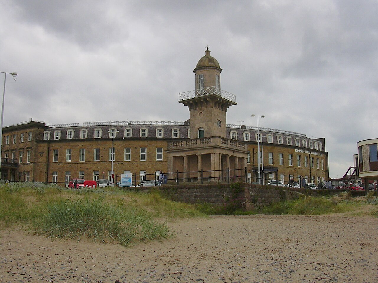
The lighthouse stands about ten metres above high-water level, which makes it visible from almost fifteen kilometres away. With the North Euston Hotel opposite and Euston Gardens, it makes up the largest surviving part of Burton's town plan.
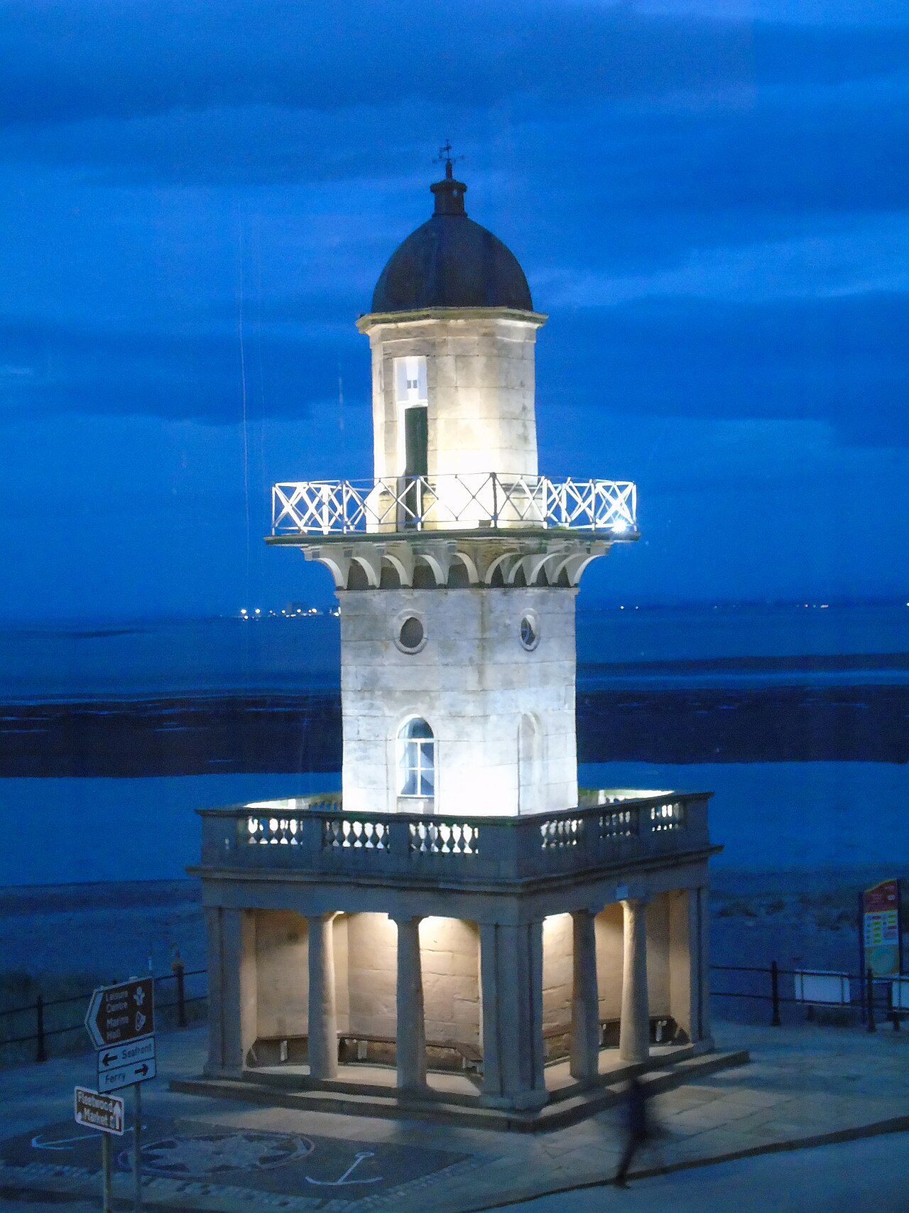
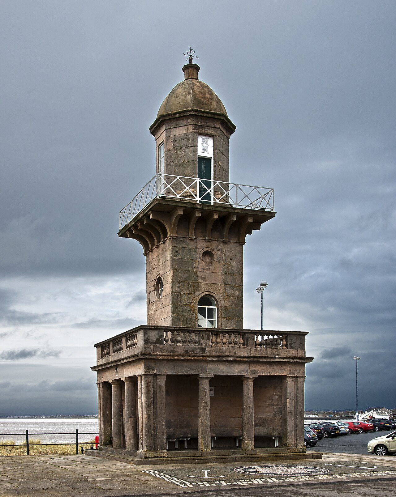
When it was listed, the tower had three levels. The lowest, in the Tuscan order on a podium of two steps, formed a portico in antis on the south side. The tower also had a balustrade with vase-shaped balusters, dies and a moulded rail, and a balcony with cast-iron railings carried on deep plain brackets. The octagonal top level had a moulded cornice and an octagonal dome capped by a tiny octagonal drum.
Use today
The two lighthouses form a pair: arriving ships line up the two lights one above the other to follow the channel, then, as they near the shore, turn to port to enter the dock; Wyre Light once helped them too. In 2008 this was still how they reached the port.
Visiting
The lighthouse can be seen from the outside, on the Esplanade seafront, opposite the North Euston Hotel and close to Euston Gardens.
Photos
53.93° N, 3.01° W
Greenhouses nearby
Architecture nearby
By the same architect
Sources (8)
- wyre.gov.uk/downloads/file/710/fleetwood-conservation-area-appraisal
- wyre.gov.uk/parks/euston-park/1
- wyre.gov.uk/news/article/416/coastal-heritage-celebrated-in-fleetwood-lights-launch
- wyre.gov.uk/downloads/file/1050/the-mount-fleetwood-map-accessible-text-version
- archive.org/download/sailingdirectio00denhgoog/sailingdirectio00denhgoog_djvu.txt
- wyre.gov.uk/downloads/file/1052/the-mount-fleetwood-story-accessible-text-version
- britishlistedbuildings.co.uk/101362180-lower-lighthouse-fleetwood
- openstreetmap.org/way/1504307830