Ryūō Station (竜王駅)
Kai, Yamanashi Prefecture
Sources checked October 2026
- Year
- 2008
- Architect
- Tadao Ando
- Type
- Elevated station and north-south pedestrian passage
- Access
- Working station; the north-south passage is open to all (October 2026)
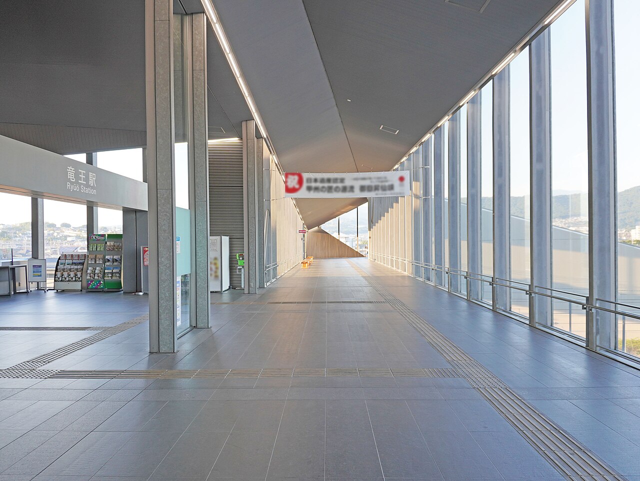
In Kai, Tadao Ando worked with JR East's architecture office on Ryūō station, built on a footbridge over the tracks, and on its north-south passage, glazed from end to end, which looks out to Mount Fuji, the Yatsugatake range and the Southern Alps. Its outline takes after a rock crystal and the flood barriers of the Shingen embankment; it also stands for a clamp holding together the three former towns now joined in the city of Kai. The station has been in use since 2008.
Affiliate links — booking through Verrière helps fund our research, at no extra cost to you.
History
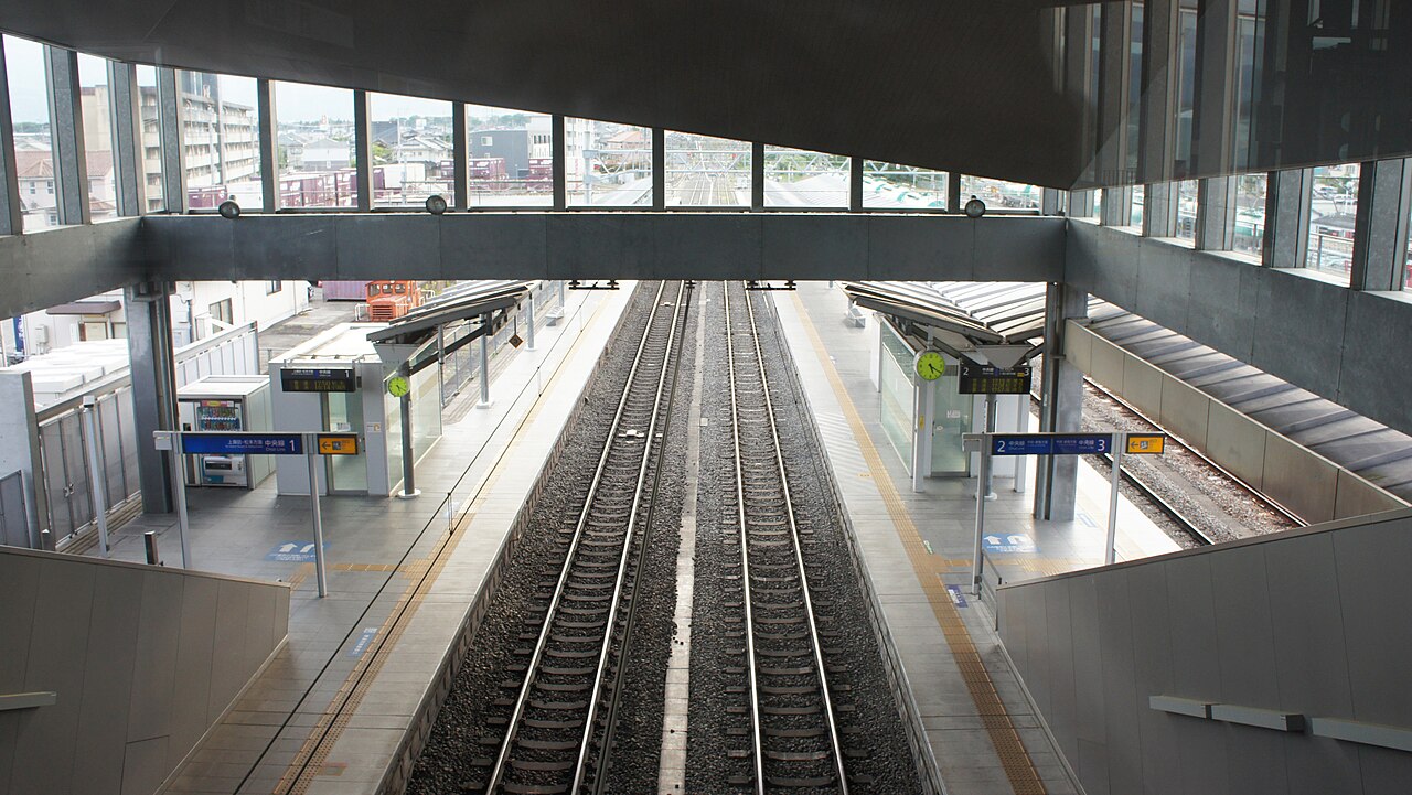
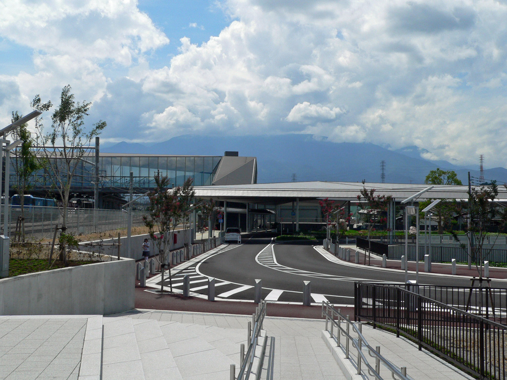
The new Ryūō station, built on a footbridge, came into service on 24 March 2008 in Kai, Yamanashi Prefecture. Until then the station had a building only on the south side of the tracks. The clients were the city of Kai and the JR East railway company; the plans came from Tadao Ando's office and JR East's architecture office. The station and its surroundings were redeveloped to Ando's designs, and the north and south plazas were finished on 27 March 2010.
In 2008 the north-south passage and station won Yamanashi Prefecture's architecture culture prize (19th edition), in the public buildings category.
Architecture
The station and its north-south passage form a steel-framed footbridge, two storeys above ground, with 1,733 m² of floor area. Its outline takes after a rock crystal and the "sacred oxen", the flood barriers of the Shingen embankment; it also stands for a clamp holding together the three former towns of Ryūō, Shikishima and Futaba, merged into the city of Kai. The passage linking the north and south sides of the station is glazed from end to end, with views of Mount Fuji, the Yatsugatake range and the Southern Alps. An open space keeps the ticket gates apart from the passage, for passengers' safety at rush hour, and the station has lifts and accessible toilets.
Use today
Ryūō is a station on the Chūō Main Line.
Visiting
The north-south passage is public: one can walk through it to look at the mountains from its large windows.
Photos
35.67° N, 138.52° E
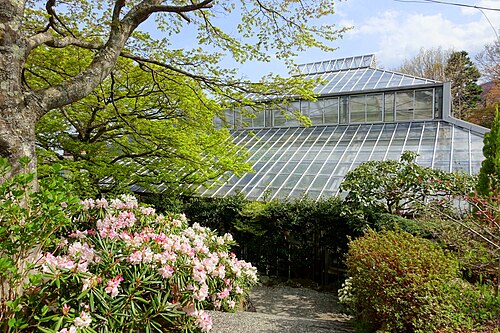
Greenhouses nearby
Architecture nearby
Sources (7)
- pref.yamanashi.jp/documents/31216/19th-h20-.pdf
- pref.yamanashi.jp/documents/7498/bunkashousenpyou20_2.pdf
- yamanashi-kankou.jp/viewpoint/pub/pvp004.html
- ja.wikipedia.org/wiki/竜王駅
- en.wikipedia.org/wiki/Ryūō_Station
- en.wikipedia.org/wiki/Kai,_Yamanashi
- en.wikipedia.org/wiki/Southern_Yatsugatake_Volcanic_Group
Affiliate links — booking through Verrière helps fund our research, at no extra cost to you.